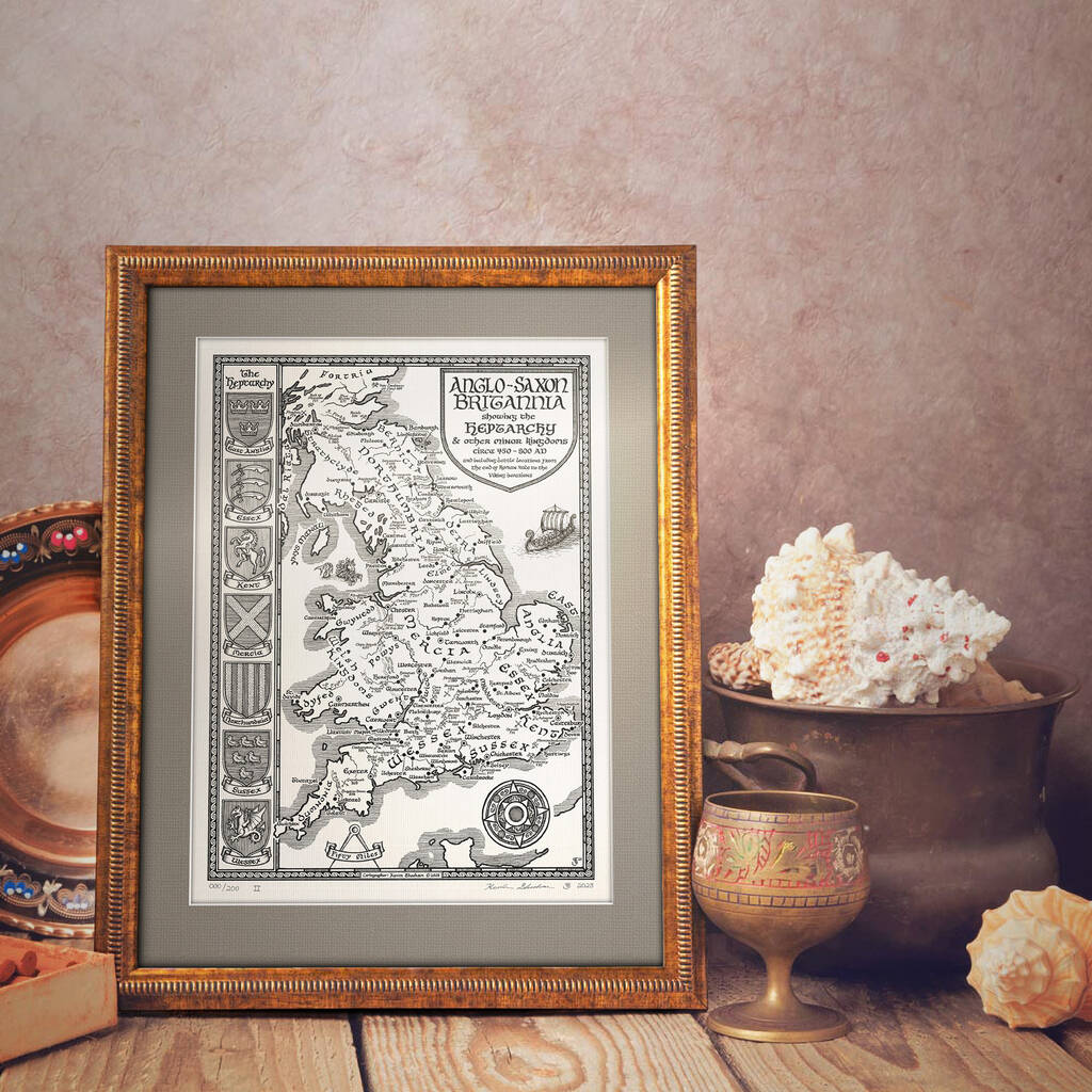
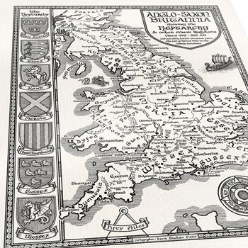
Anglo Saxon Britain Map Hand Drawn Fine Art Print

- Sold by Manuscript Maps
- From York, GB
- 4.9/5 (13 Brand reviews)
From
Sale price £32
Regular price £40
20% offSave £8
Get 15% off £50 with
- Made with care in Britain
- Can be personalised
- Gift wrapping available
Personalisation options
0 Product reviews
We are…
Price match promise
Find it cheaper elsewhere* and we’ll match the difference
Now that’s reason to smile!
*key competitors only. T&Cs apply19
Years as a much-loved UK retailer
And over 1.3 million 5-star product ratings
5000+
UK small brands
Curated by us, loved by you
You may also like
- Gifts for any gender
- Gifts for aunties
- Gifts for babies
- Gifts for your boss
- Gifts for boyfriends
- Gifts for couples
- Gifts for cousins
- Gifts for Dads
- Gifts for daughters
- Gifts for doctors
- Gifts for elderly people
- Gifts for families
- Gifts for Friends
- Gifts for girlfriends
- Gifts for Grandparents
- Gifts for Her
- Gifts for Husbands
- Gifts for kids
- Gifts for Him
- Gifts for Mums


